Description
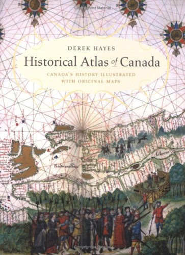
pp. 272, “Canada’s history comes alive in this innovative book, which utilizes historical maps to illustrate and illuminate the past. Here are the often colorful, sometimes bizarre maps of European explorers who discovered the Americas while seeking a route to the riches of the Orient. Many of these early maps depict imagined straits and passages; one shows the St. Lawrence River flowing from an opening on the coast of California. This atlas covers a period of a thousand years and contains essentially all the historically significant maps of the area that became Canada and the northern United States, gathered from major archives and libraries all over the world. There are English, French, Spanish, Russian, American, Italian, and Dutch maps; as well as maps drawn by Native people such as the Beothuk, Blackfoot, and Cree. Many of the maps are artistic, some utilitarian, but all are included for their historical significance and the story they have to tell.” heavy book additional postage will apply


